Our Planet Climate and Geopolitics

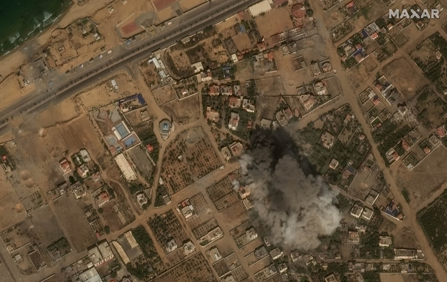
Commercial providers of satellite imagery have been limiting and delaying the release of high-resolution pictures of Gaza, apparently in deference to requests from US officials or to maintain good relations with the US government as a client. Imagery that used to be obtained and used only by governments is now readily available from companies including Maxar, Planet Labs and Airbus. They provided striking before-and-after pictures of Gaza and nearby Israeli territory in the aftermath of the 7 October attacks and in the first days of Israel’s military response. But Semafor reports that from 22 October Planet Labs, a San Francisco-based firm set up by ex-Nasa engineers, has stopped providing its highest-resolution images of the war zone and has obscured detail in northern Gaza – where heavy Israeli armour has been moving – with solid-coloured blocks. Like Elon Musk’s Starlink satellite comms network, these companies have found themselves in the uncomfortable position (for non-defence contractors) of being able to influence the course of war just by selling their product. It’s a new price of doing business.